Applying AI to help solve problems on Earth and Elsewhere
Raw archive to measured result: deep learning and computer vision for detection and classification in imagery, from the ground to orbit.
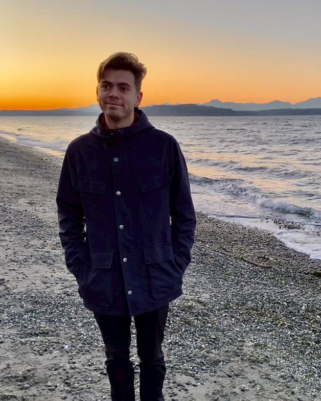
I'm a PhD candidate in Earth, Environmental, and Planetary Sciences at the University of Tennessee, Knoxville, working with Dr. Bradley J. Thomson and defending in Spring 2027. After that, I'm looking for applied and research scientist roles in Earth observation, geospatial machine learning, and AI for science.
I came to AI/ML from the planetary geology side. My undergraduate and master's work focused on Antarctic geochemistry, using the McMurdo Dry Valleys as a stand-in for Mars. Then, during my Ph.D., I went to a NASA AI workshop in 2024 and saw how these methods could be applied to planetary geoscience problems. So I rebuilt my dissertation around them. I taught myself deep learning by building the detection pipeline that work required, on a problem where the training data didn't exist and had to be made.
Most of what I do sits in the space between a model and a scientific claim: build the pipeline, evaluate it honestly, then defend what its output does and doesn't support. The domain changes but the problem doesn't: scarce labels, a large archive, and a result someone has to stake a decision on. That combination shows up everywhere. It's why a paleobiology group recently brought me in to help apply machine learning to their data, and it's why most of my day-to-day is translation: turning model outputs into something a domain expert can use, and helping junior contributors become people who can build the models themselves.
When the tooling I need doesn't exist, I build it. For example, labels were the bottleneck for a project in my dissertation, so I built an annotation app to expedite labeling and dataset curation.
I also put real effort into deciding whether a problem even calls for an AI model, and I'm willing to say so when it doesn't. Some of my work has shown that a question wasn't answerable with the data available, which is a less satisfying result to report but a more useful one to have.
Away from the screen I'm usually getting green on my eyeballs, in my garden where I grow pumpkins timed for October, or on the rides and hikes around Boulder, as well as in Canyonlands for an annual hundred-mile ride with friends.
If that sounds like someone you'd want to work with, get in touch.
Education
- Ph.D. Earth, Environmental & Planetary Sciences
University of Tennessee, Knoxville · 2027 (expected) - M.Sc. Earth & Planetary Sciences
University of Hawai'i at Mānoa · 2020 - B.A. Geology-Biology
Brown University · 2018
Based in
Boulder, Colorado. PhD at the University of Tennessee, Knoxville.
Eligibility
U.S. citizen, eligible to obtain a security clearance.
Find me
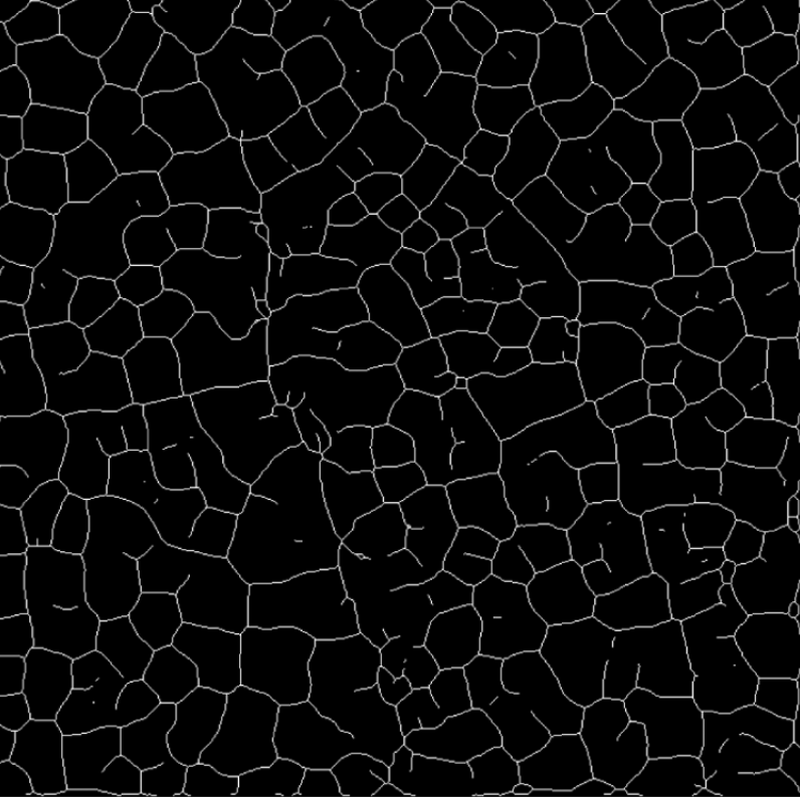
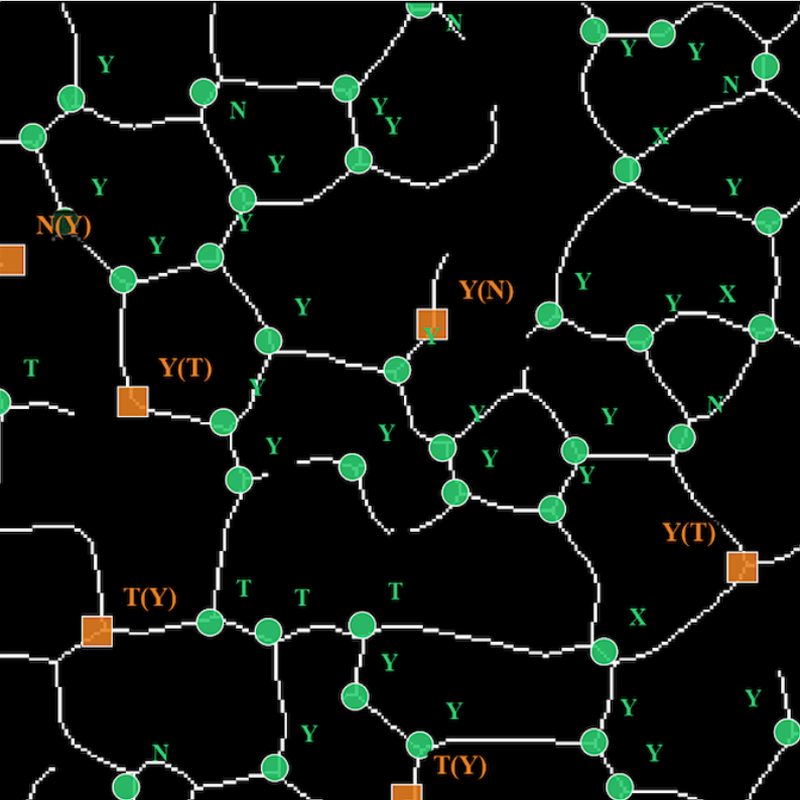
Martian paleoclimate by counting cracks
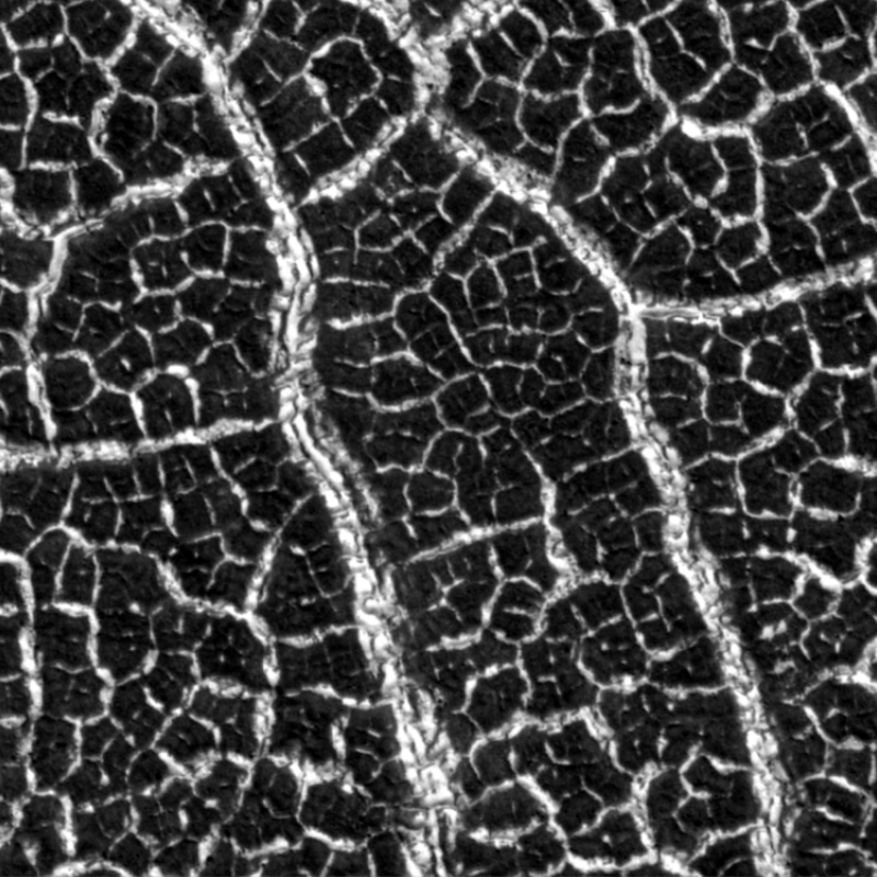
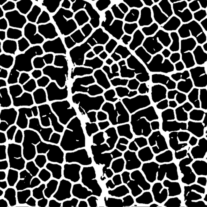
The way cracks meet in frozen ground can record past climate conditions, but with over 100,000 orbital images to search, reading them by hand is not an option. I built an AI vision pipeline that detects and classifies martian crack junctions, validated on a subset of HiRISE scenes and scaling next to the martian mid-latitudes.
Under review · scale-up in progress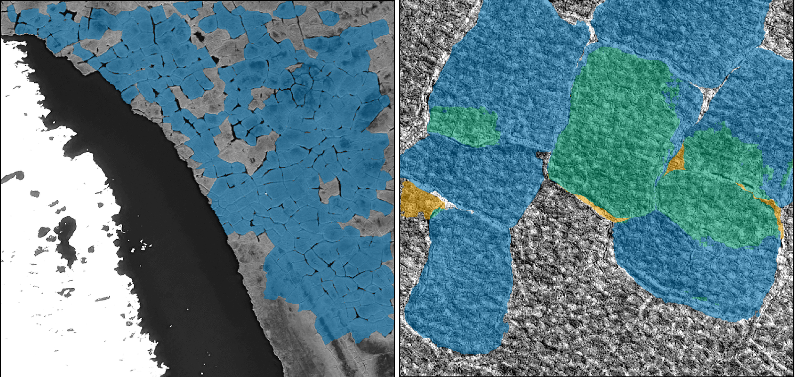
Training on Earthdeploying on Mars
Can an AI vision model trained only on Earth imagery find the same landforms on Mars? I trained segmentation models on polygon-patterned tundra, ancient riverbeds preserved as ridges, and branching valley networks, then set them loose on Mars.
Results in preparation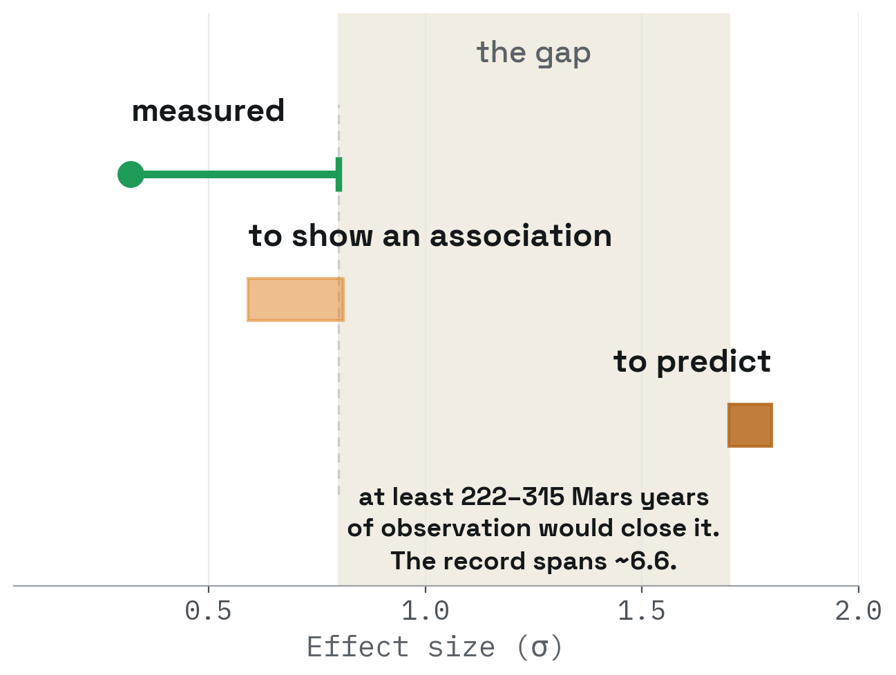
Knowing a record's limit
Can a Martian dust storm be predicted? Researchers have reported warning signs for decades, yet none has been shown to beat two forecasts that cost nothing: what the season usually brings, and the conditions already prevailing. So I asked whether the record holds enough storms to prove that any warning sign works.
In preparation